

Lake County has already fixed three numbers for every development inside Wellness Way: the most homes an acre can carry, the least land that stays open space, and the least land reserved for commercial and employment use. Where any of it goes, and when it gets built, is decided in your community’s own PUD ordinance.
These 15,500 acres run on a separate rulebook
The Wellness Way Area Plan is Goal I-8 of the Lake County 2030 Comprehensive Plan, created by Ordinance 2016-01. A rezoning ordinance drafted by the county this year records that Ordinance 2016-01 was adopted on January 5, 2016, became effective on December 26, 2017, and was most recently amended by Ordinance 2026-8. Design Guidelines filed with the county’s 2021 amendment package describe Wellness Way as approximately 15,500 gross acres in southeast Lake County.
Goal I-8 sets up the area as an urban service area under section 163.3164, Florida Statutes, and it carries an override clause. Where a policy elsewhere in the comprehensive plan conflicts directly or indirectly with a Wellness Way policy, the plan states that the conflicting provision does not apply inside Wellness Way. A county-wide standard you read on another page may not govern your lot.
Every net acre is sorted into open space, Center, or residential
Policy I-8.2.1.1 requires all net acreage in Wellness Way to be allocated to one of three buckets: open space, Center, or residential. Center is the plan’s term for the land set aside for required non-residential uses. The allocation is driven by which future land use category covers the ground, and the percentages below are minimums for open space and Center and a maximum for residential.
| Future land use category | Open space minimum | Residential maximum | Center minimum | Maximum homes per net residential acre |
|---|---|---|---|---|
| Neighborhood | 30% | 65% | 5% | 3.60 |
| US 27 | 30% | 55% | 15% | 5.75 |
| Multi-Use | 30% | 50% | 20% | 8.00 |
| Conservation Subdivision | 50% | 50% | Not applicable | 2.70 |
| Wellness Way North 1 | 30% | 60% | 10% | 3.08 |
| Wellness Way North 2 | 30% | 60% | 10% | 2.67 |
| Wellness Way North 3 | 30% | 60% | 10% | 2.25 |
The word net is doing heavy lifting. Policy I-8.2.1.1 defines capacity using net acres, meaning gross acres minus wetland acres minus water body acres. On 100 net acres in the Neighborhood category, the arithmetic gives at least 30 acres of open space, at least 5 acres of Center, at most 65 acres of residential, and a ceiling of 234 homes. Run the same 100 acres through the Multi-Use category and the ceiling rises to 400 homes on 50 acres.
On a real site, gross acreage is not the number that matters
The county’s rezoning staff report for the Panther Run PUD, case PZ2025-289, puts the subject property at approximately 2,241 gross acres and 1,070.3 net acres, north of Sawgrass Bay Boulevard and south of Schofield Road in the unincorporated Clermont area. The difference is 1,170.7 acres, 52.2 percent of the site, that comes out before any density calculation. The report spreads the property across three categories, Conservation Subdivision, Neighborhood and Multi-Use L, and records flood zones AE and X and a Priority Two wildlife corridor designation.
The ordinance drafted for that case describes 2,624 dwelling units with a minimum of 82.2 acres of non-residential development, plus dedication of 32.5 acres of right of way. Staff found the request consistent with the Land Development Regulations and the comprehensive plan, and the report sets the Planning and Zoning Board hearing for August 5, 2026 and the Board of County Commissioners hearing for September 1, 2026. Those figures are what the file requested, so ask for the adopted ordinance number and read what the Board approved.
The Center requirement reserves land without setting a date
Policy I-8.1.1 sets a target of 1.25 jobs per dwelling unit across the Wellness Way planning area, reached by analyzing each PUD submittal to confirm it reserves enough land for employment uses at the minimum average floor area ratio for its category.
Policy I-8.2.1.3 then governs placement. Non-residential development has to occur inside a Center, and Centers must sit in commercially viable locations along an arterial or collector road. That policy is titled location and timing, and its text addresses location only. No sentence in it commits a developer to finish a Center by a given phase. Open space gets closer to a schedule: Policy I-8.2.5 requires open space calculations to be determined during PUD review and phased consistent with development, and Policy I-8.2.6 requires permanent preservation through recorded conservation easements to correspond with each development phase.
Open space splits into two types with different rights attached. Wellness Space covers minimally developed land plus parks, plazas and squares open to public access. Green Space protects natural resources, where the plan prohibits active recreation and allows passive recreation.
Four corridors are named, and the alignments are not final
Policy I-8.3.1 identifies the primary roadway network as Wellness Way from US 27 to the Orange County line, Hancock Road from Wellness Way to Hartwood Marsh Road, Schofield Road from the Wellness Way and Hancock Road intersection to the Orange County line, and the CR 455 extension from Hartwood Marsh Road to Sawgrass Bay Boulevard. Objective I-8.3 states that final primary roadway alignments and additional connections may be determined in the PUD process, so a line on a marketing map is not a surveyed route.
Each PUD has to assess its proportionate share of impacts to that network and to US 27 and Hartwood Marsh Road, which becomes the basis for an impact fee credit agreement with the county. One number sets expectations for traffic: Policy I-8.3.8 adopts a minimum roadway level of service standard of E inside Wellness Way, with US 27 held at D.
Pull these five documents before you sign
- Your lot’s future land use category. It decides the open space, Center and density figures in the table above, and a single community can span three of them.
- The adopted PUD ordinance for your community. It carries the approved unit count, the required non-residential acreage and any conditions. The county directs copy requests to the County Attorney’s Office or Board Support.
- The Framework Map in that PUD. Goal I-8 states that where specific land uses occur is defined by the Framework Map at the PUD step, so this is where you learn whether the Center is near your street or a mile away.
- Ordinance 2026-8. The county’s adopted ordinance list describes it as amending Section 16.02 of the Land Development Regulations, incorporating The New Yard Pattern Book as Section 16.04, creating Section 16.05 for landscape and irrigation plan examples, and revising landscaping standards within Wellness Way along Florida-Friendly Landscaping principles. Your yard and irrigation plan answer to it.
- The current comprehensive plan version. The copy the county publishes is dated March 4, 2025, and amendments land several times a year, so confirm the date before quoting a policy.
Common questions
Does a 30 percent open space minimum mean 30 percent of what I will see?
No. The percentage applies to net acres, which already exclude wetlands and water bodies, so the preserved share of the whole site is usually larger than 30 percent while the usable green space near houses can be smaller. The plan does push against buffer-only compliance, stating that open space tracts are encouraged in the interior of a PUD and that narrow tracts along the perimeter used solely as a buffer are discouraged. A 50-foot continuous upland buffer is required around every wetland and water body counted toward the requirement.
Is the commercial near my house guaranteed?
The land is required and the location is constrained, though neither is a promise about your street. The Center minimum is enforced as acreage and square footage at the PUD stage, and Policy I-8.2.1.3 requires the non-residential use to sit inside a Center along an arterial or collector road. Nothing in that policy fixes a construction date, which is why the PUD ordinance and its phasing conditions are the documents that matter.
Can the developer add homes beyond the capacity table?
Only in the Neighborhood category, and only by proffer. The plan allows the maximum capacity there to be enhanced by up to 20 percent through an extraordinary upfront capital contribution to off-site public infrastructure such as parks, trails or a bicycle and pedestrian bridge over US 27, or through a transfer of density from the Conservation Subdivision or Wellness Way North categories. Policy I-8.2.1.1 states that the enhancement is not a right and must be proffered when the Master PUD is considered.
Where to go from here
The plan decides what surrounds the house. For what the house costs, see Lake County impact fees on a new home and the real monthly cost of a Florida home, which covers how HOA and CDD assessments land on top of the mortgage. For what the builder owes you after closing, see what Florida’s one-year home warranty actually covers.
If you are choosing between Wellness Way communities, book a strategy session with our team at mvphomegroup.com/nelsoncruz. We pull the PUD ordinance and the Framework Map for the specific lot before talking about price, because those two documents decide what the view becomes. This is general information about county planning documents, not legal advice.
Nelson Cruz, P.A.
Founder & CEO
MVP Home Group, Real Broker LLC
Nelson brings nearly two decades in law enforcement to his work in real estate. View Nelson’s profile or contact our team at 407-901-9939 or [email protected].
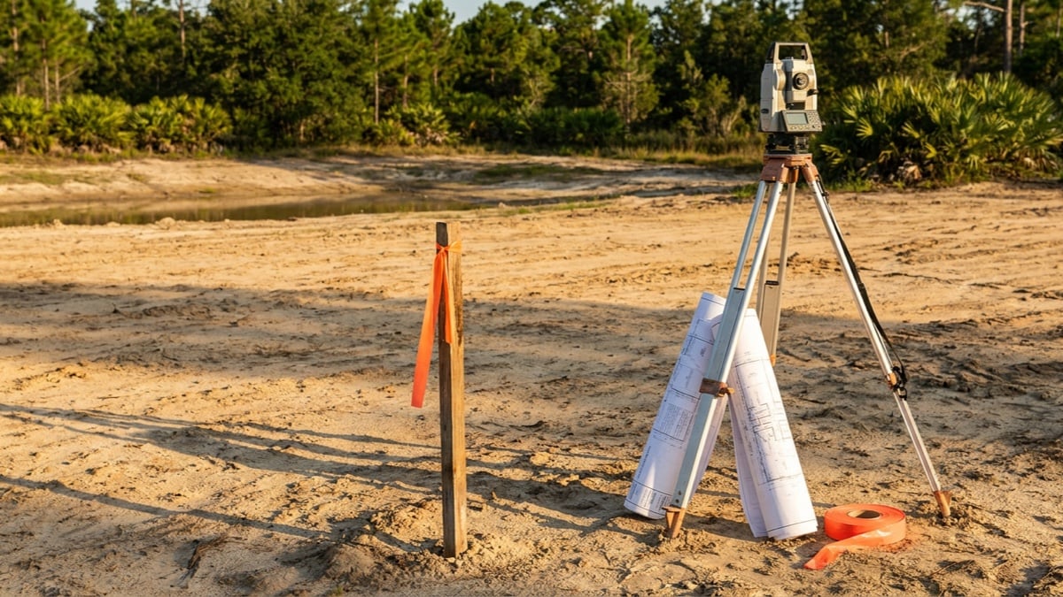
Featured image: AI-generated editorial illustration of a rolled site plan, a surveyor’s tripod and a wooden survey stake with orange flagging at the edge of a cleared sandy parcel, with pine scrub and a retention pond behind. No readable text. Not a particular property, community or approved development.